3d modelling.
make the reality digital.
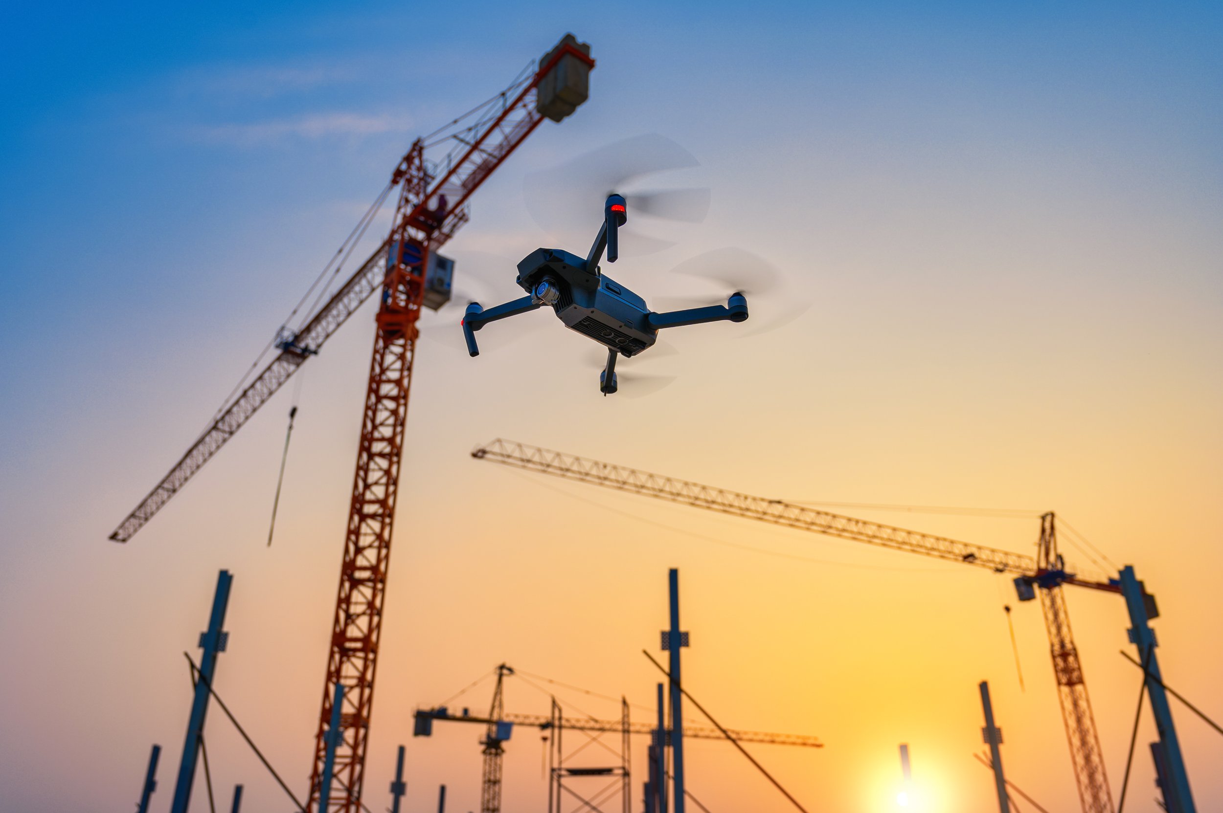
Using drones for 3D modelling has drastically changed the way we capture and visualise our surroundings. These aerial robots enable us to create highly detailed and accurate 3D models of landscapes, buildings and infrastructure. With their advanced imaging capabilities and precise positioning systems, drones can capture thousands of images from various angles, allowing for the creation of comprehensive and realistic digital representations.
Build it.
The data collected by drones can be processed using specialised software, which stitches the images together to generate a detailed and textured 3D model. This technology has found applications in fields such as construction, architecture, and archaeology, as it provides an efficient and cost effective way to map and analyse vast areas with incredible detail and accuracy.


